Elements
Reference
About Me
Welcome to my portfolio! I am Desmond Lartey, a passionate urban planner and GIS enthusiast. My work is focused on innovative urban development and leveraging technology for sustainable solutions. In my projects, I often find myself balancing technical precision with creative problem-solving. I believe in continuous learning and improvement. Explore my portfolio and feel free to get in touch.
Professional Journey
Environmental and Spatial Landscape Planning
With a strong background in environmental and spatial landscape planning, I have developed comprehensive strategies for sustainable urban development, integrating ecological considerations with spatial aesthetics.
GIS and Remote Sensing Technologies
My proficiency in GIS and remote sensing has been pivotal in land-use monitoring and urban planning projects, allowing for data-driven decision-making and enhanced efficiency in resource management.
Project Consultant: Sustainable Green Concept App
As a Project Consultant, I played a crucial role in the development of the Sustainable Green Concept App, focusing on climate change and sustainable urban greening. This project is a testament to my commitment to leveraging technology for environmental sustainability.
Urban Planning and Sustainability
My expertise extends to urban planning, where I have been instrumental in shaping land-use models and risk assessments. My focus has always been on creating sustainable and livable urban spaces for the future.
Professional Expertise and Achievements
Core Competencies
- Spatial Urban Planning & Project Management
- GIS and Remote Sensing
- Sustainable Urban Development
- Environmental Management & Governance
- Climate Change Analysis & Land-Use Monitoring
Professional Certifications
- Water Resource Management in Earth Engine
- Nature-based Solutions for Disaster and Climate Resilience
- Machine Learning – Supervised and Unsupervised Classification
- Python Foundation for Spatial Analysis
- Advanced Remote Sensing Analysis in Open Cloud Tools & QGIS
Key Projects & Contributions
- Development of Sustainable Green Concept App
- Research in Sustainable Transport Infrastructure
- GIS Analysis for Urban Green Solutions
- Monitoring Land-Use Changes in National Reserves
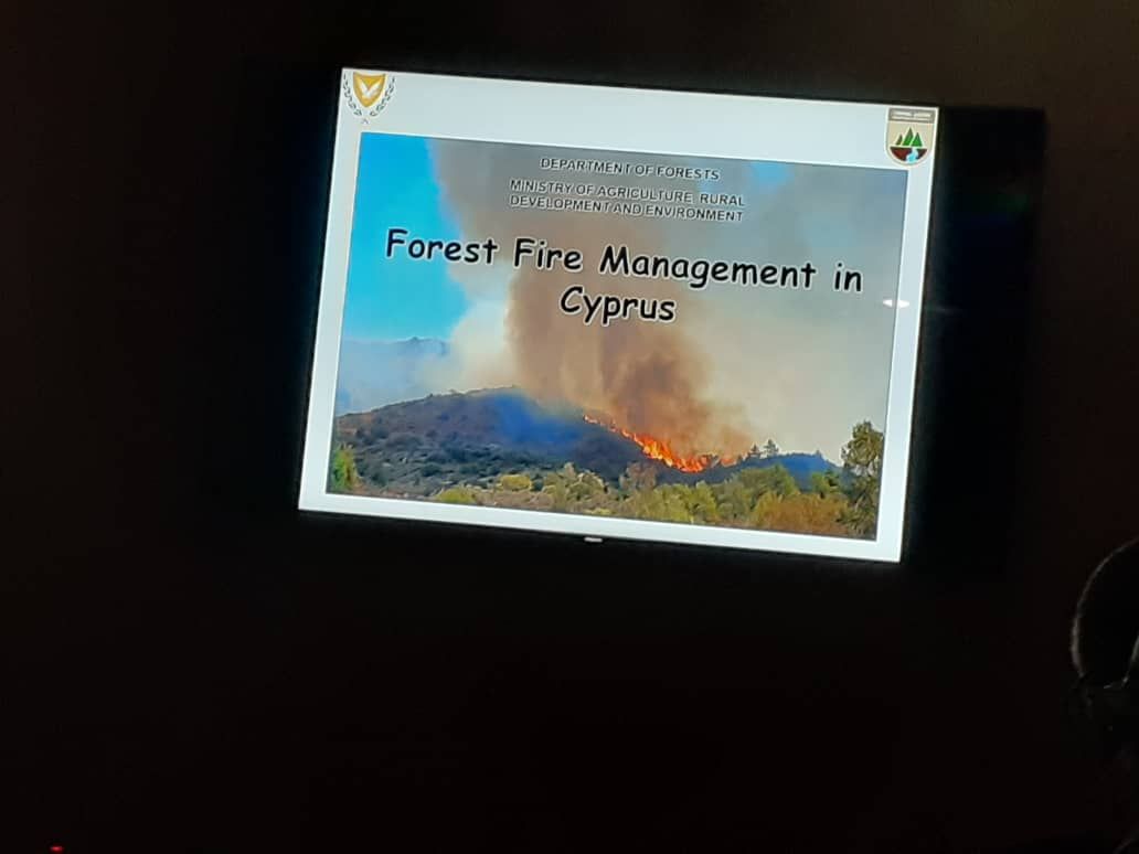
- Contributions to Fire Management Research and Strategies
Key Terms in My Work
- Urban Sustainability
-
Refers to the development of urban areas in ways that ensure a balance between the environment, economy, and social well-being, reducing ecological impact while enhancing the quality of life.
- GIS (Geographic Information Systems)
-
A framework for gathering, managing, and analyzing spatial and geographic data. Crucial in urban planning, environmental management, and resource optimization.
- Remote Sensing
-
The practice of obtaining information about objects or areas from a distance, typically from aircraft or satellites, used extensively in environmental monitoring and land-use planning.
Inspirational Quote
"Innovation in urban planning and sustainability is not just about technology, but about reimagining our spaces to improve quality of life." - Desmond Lartey
My Key Projects Overview
| Project Name | Description | Year |
|---|---|---|
| Green Concept App | Development of an app focusing on sustainable urban greening. | 2022 |
| Urban Planning Consultancy | Advised on sustainable land-use models for urban development. | 2021 |
| GIS-Led Conservation Project | Implemented GIS strategies for wildlife habitat conservation. | 2020 |
| Climate Change Research | Conducted analysis on the impacts of climate change on urban areas. | 2019 |
| Remote Sensing for Fire Management | Developed remote sensing techniques to monitor and manage forest fires. | 2018 |
Skills and Proficiencies
| Skill | Description | Proficiency Level |
|---|---|---|
| GIS Mapping | Advanced spatial analysis and mapping. | Expert |
| Urban Sustainability Planning | Development of sustainable urban infrastructure. | Advanced |
| Data Analysis | Statistical analysis and interpretation for urban planning. | Intermediate |
| Environmental Impact Assessment | Evaluating the environmental implications of projects. | Advanced |
| Project Management | Coordinating and leading projects from conception to completion. | Intermediate |
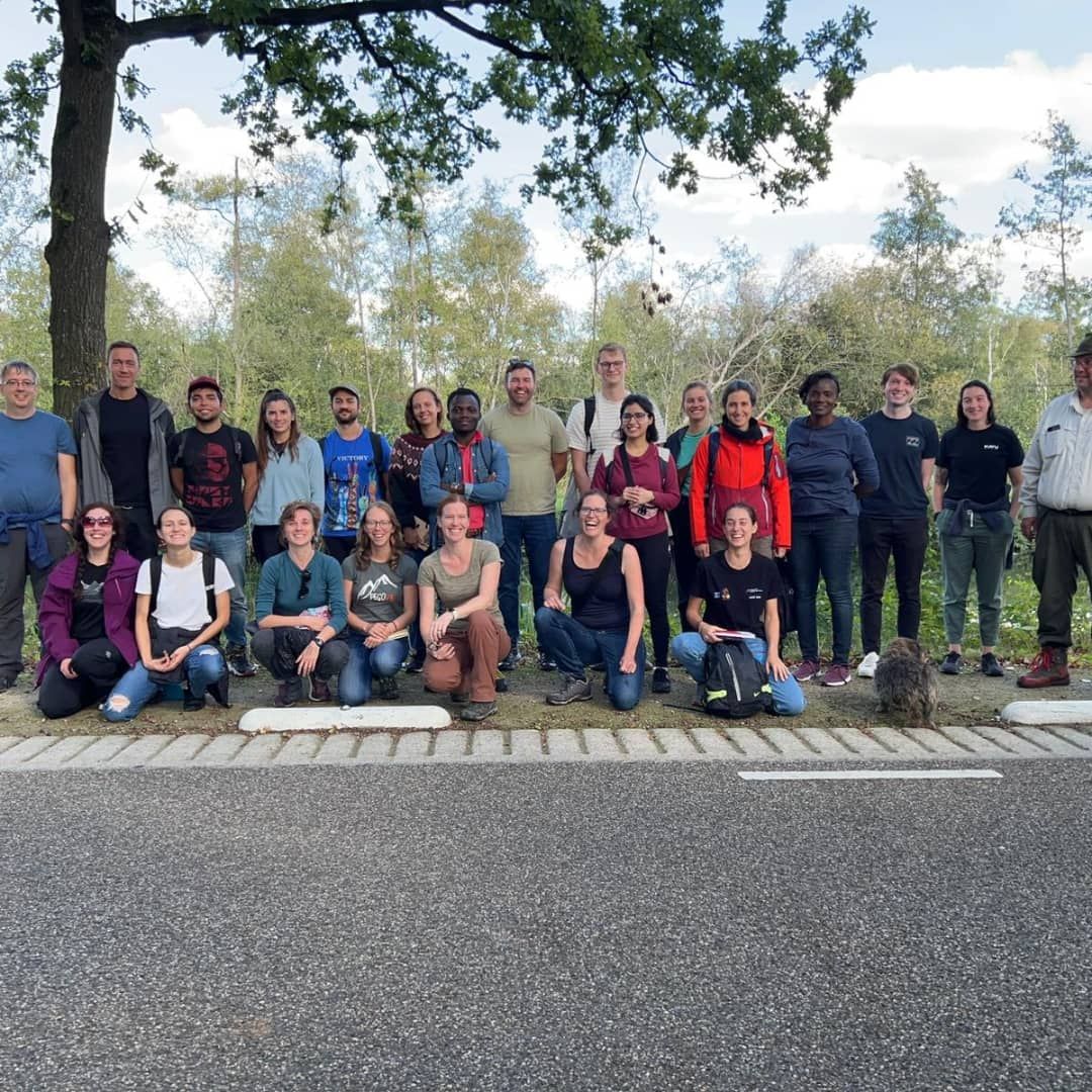
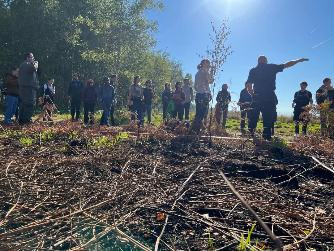
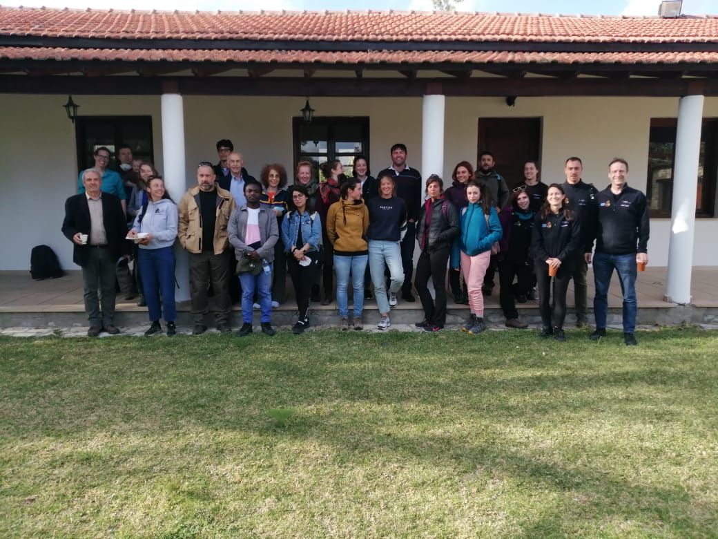
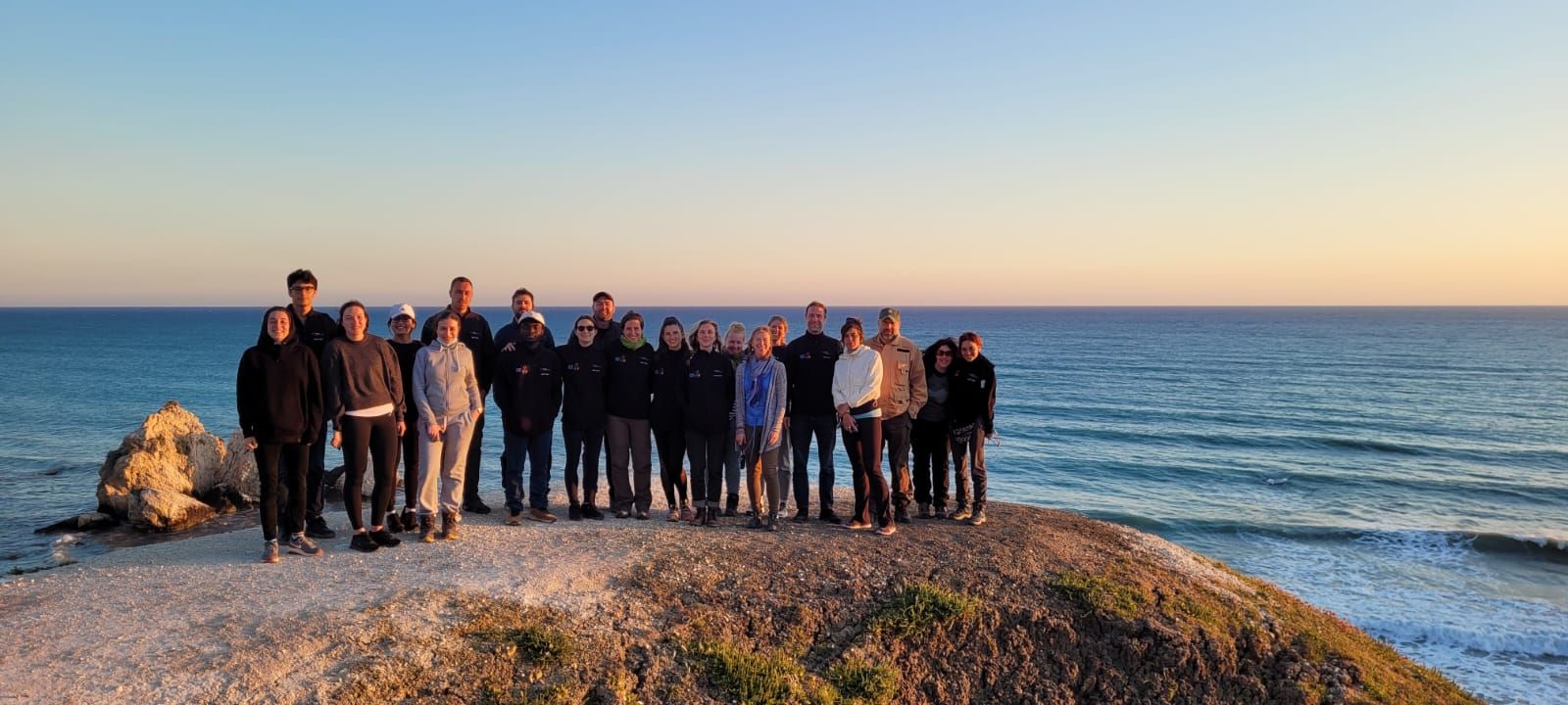
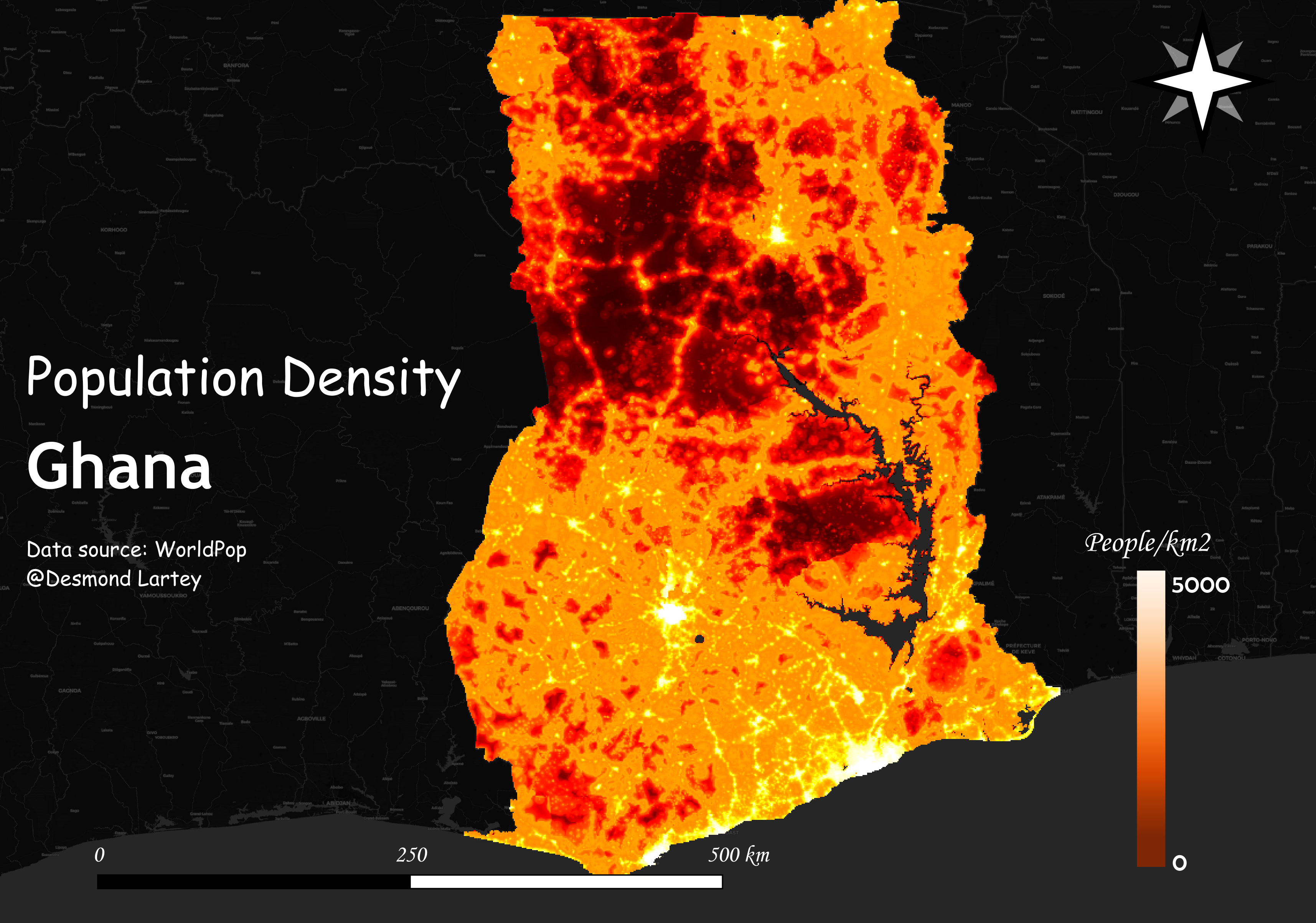
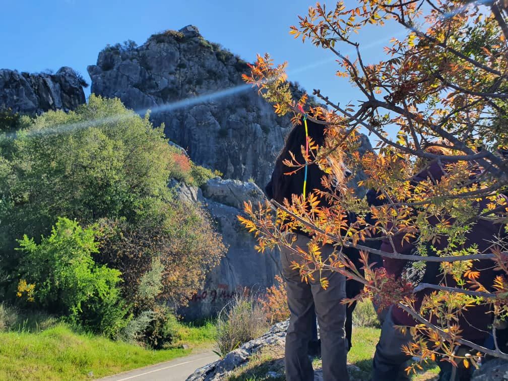
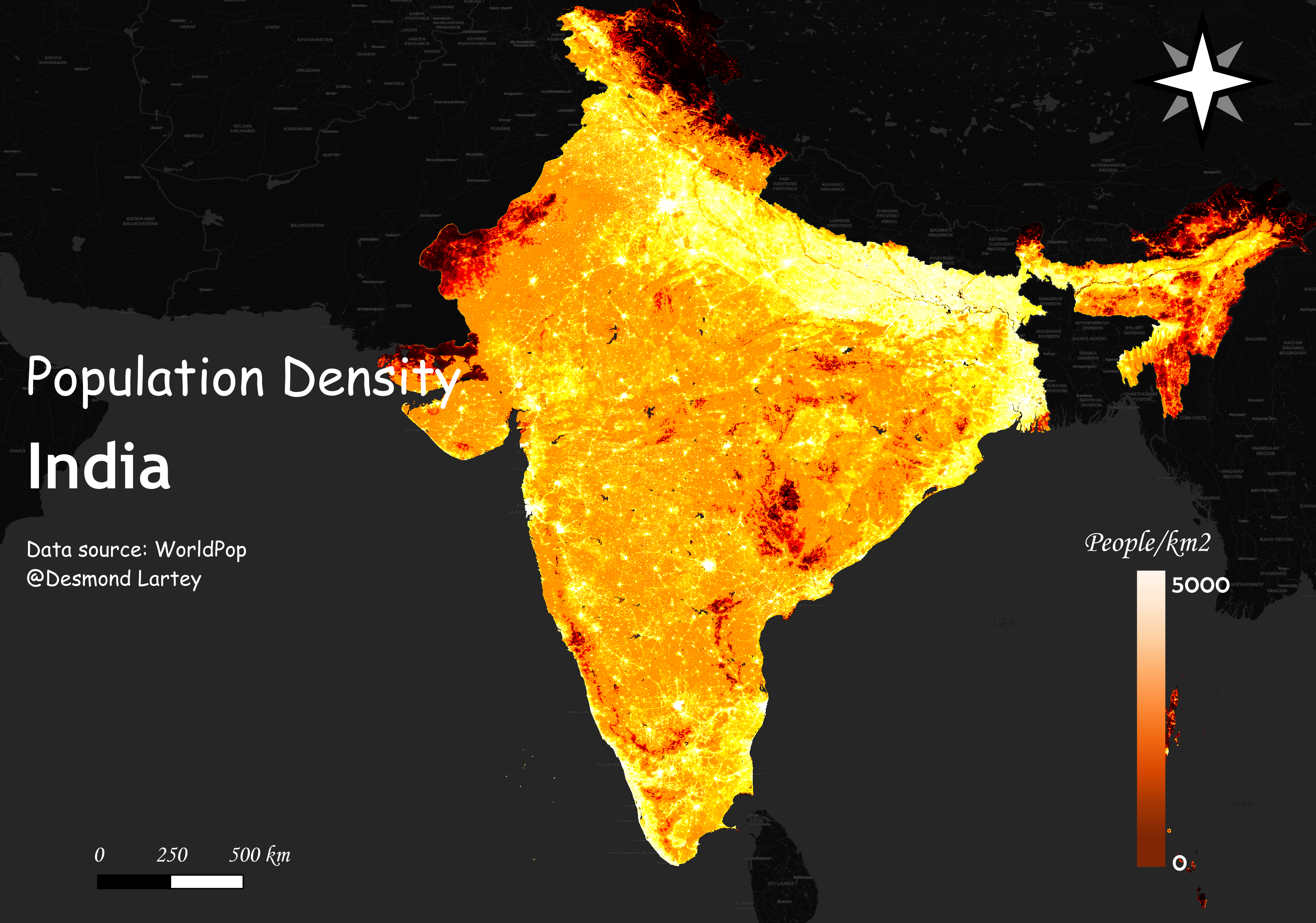
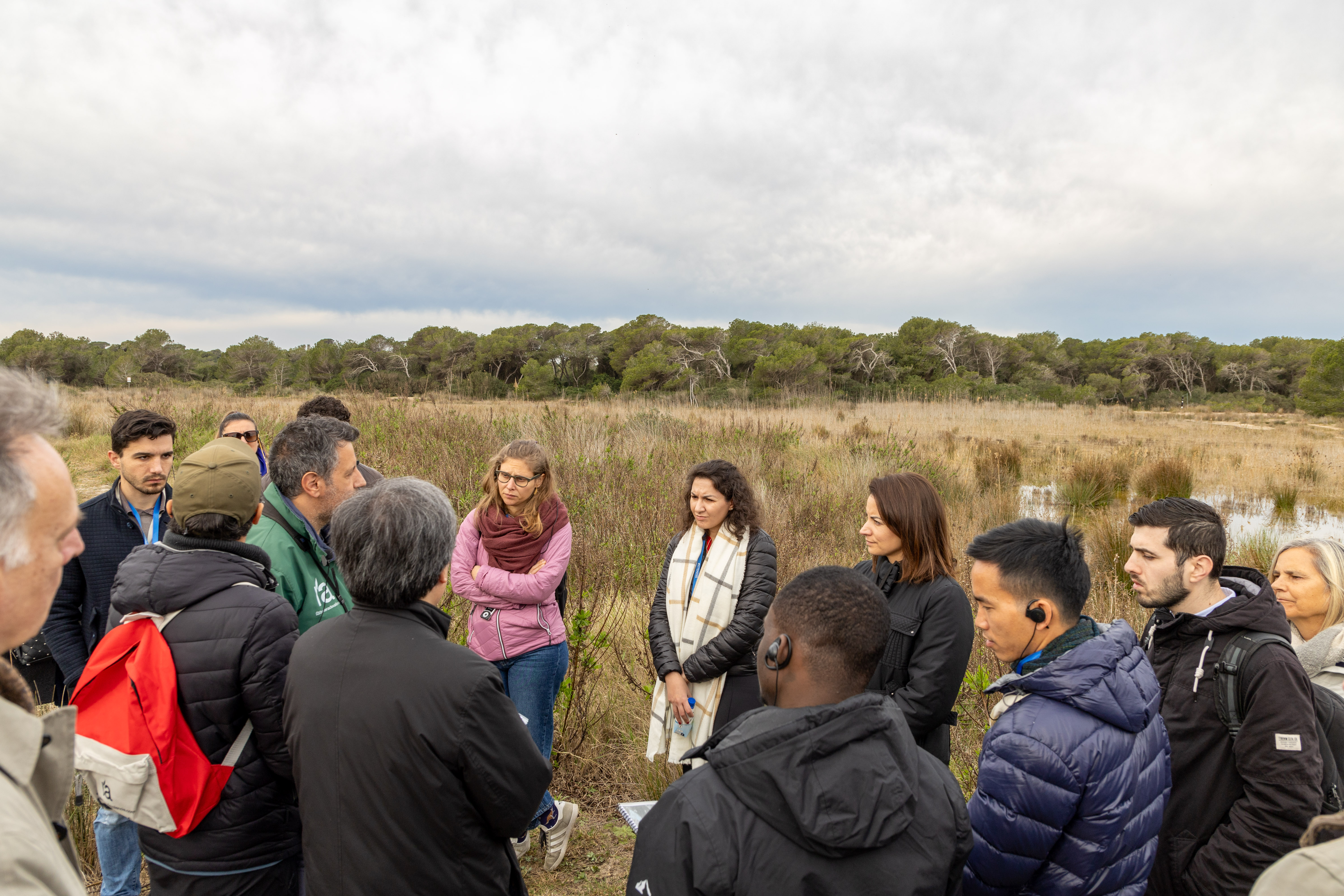
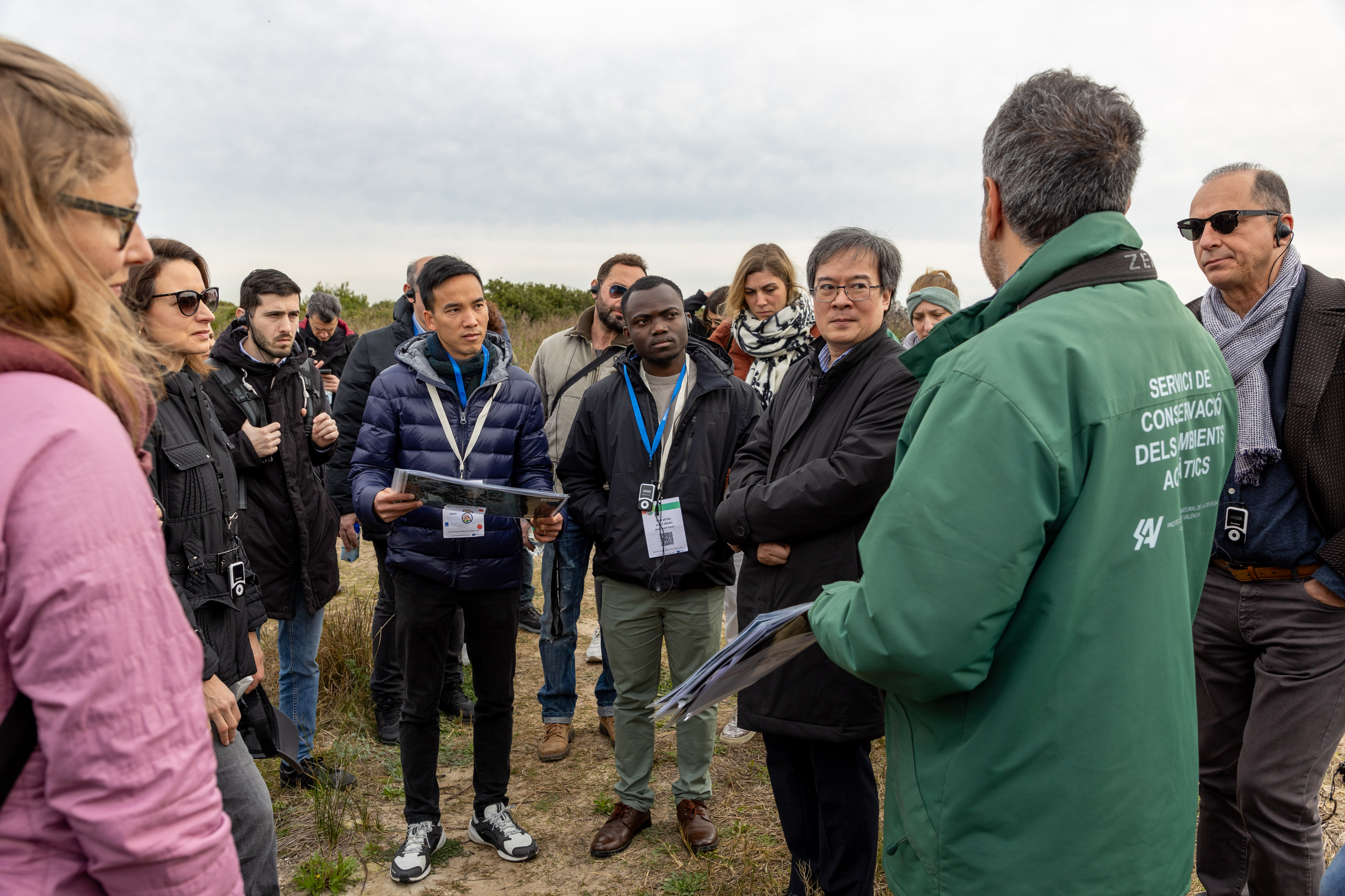
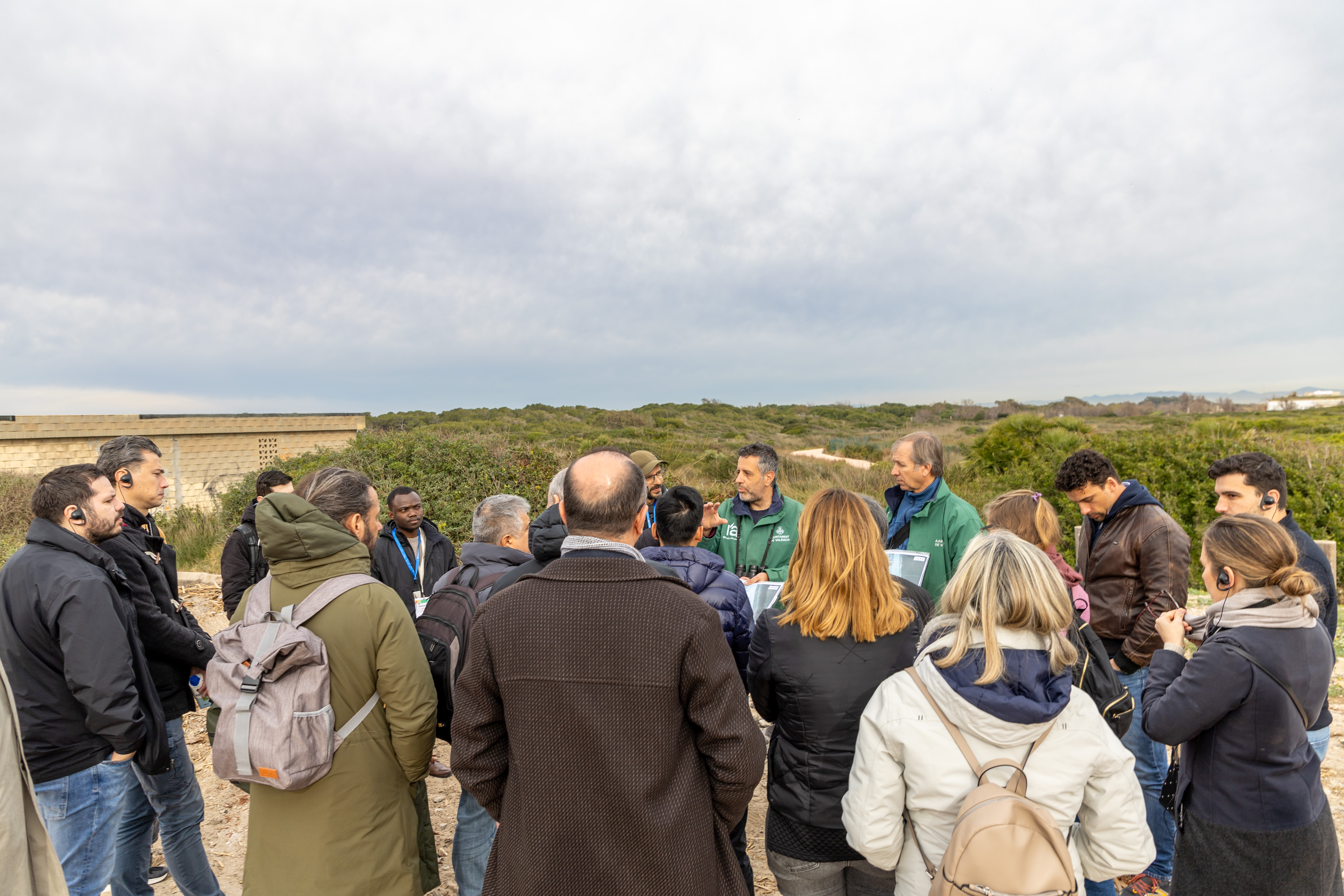
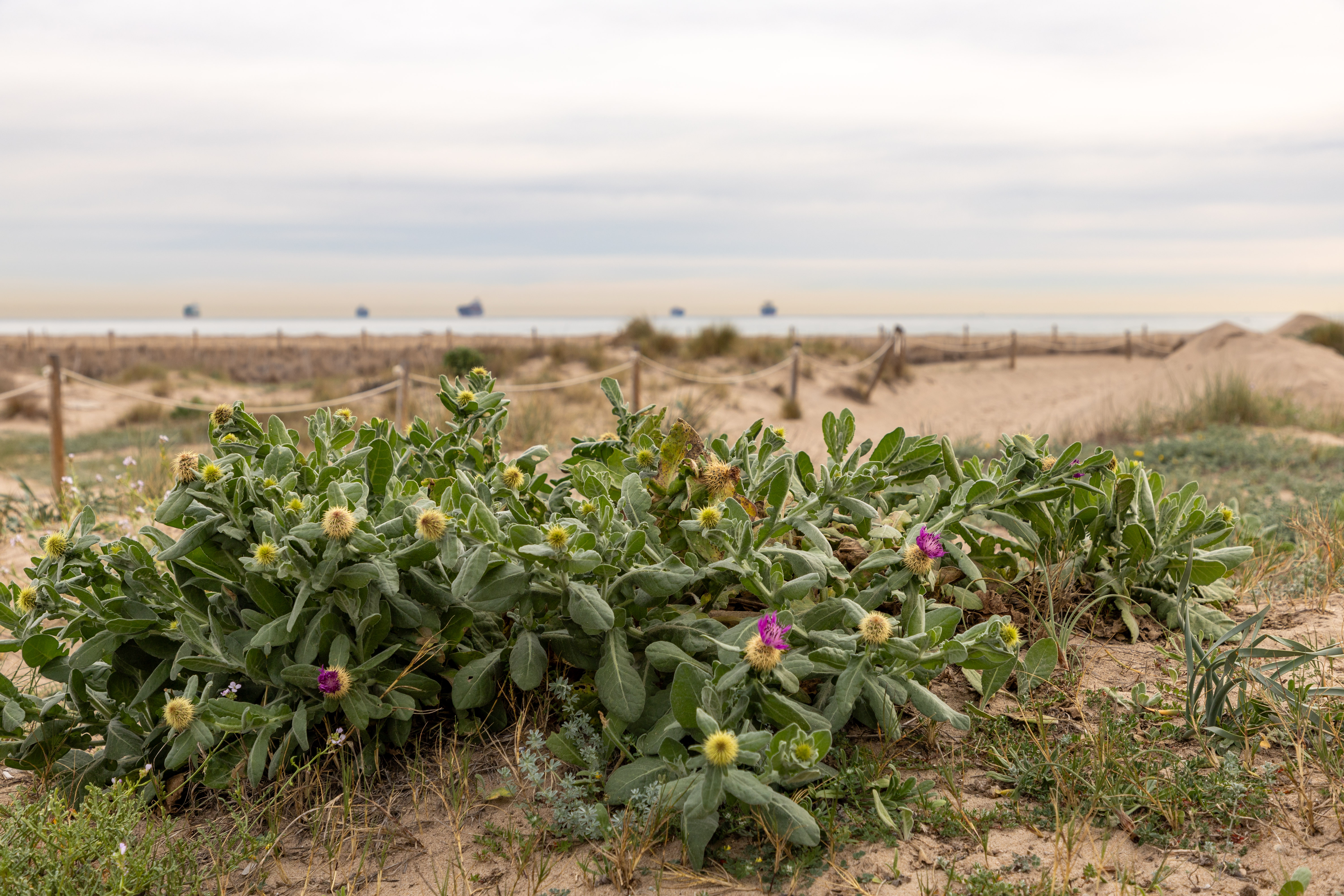
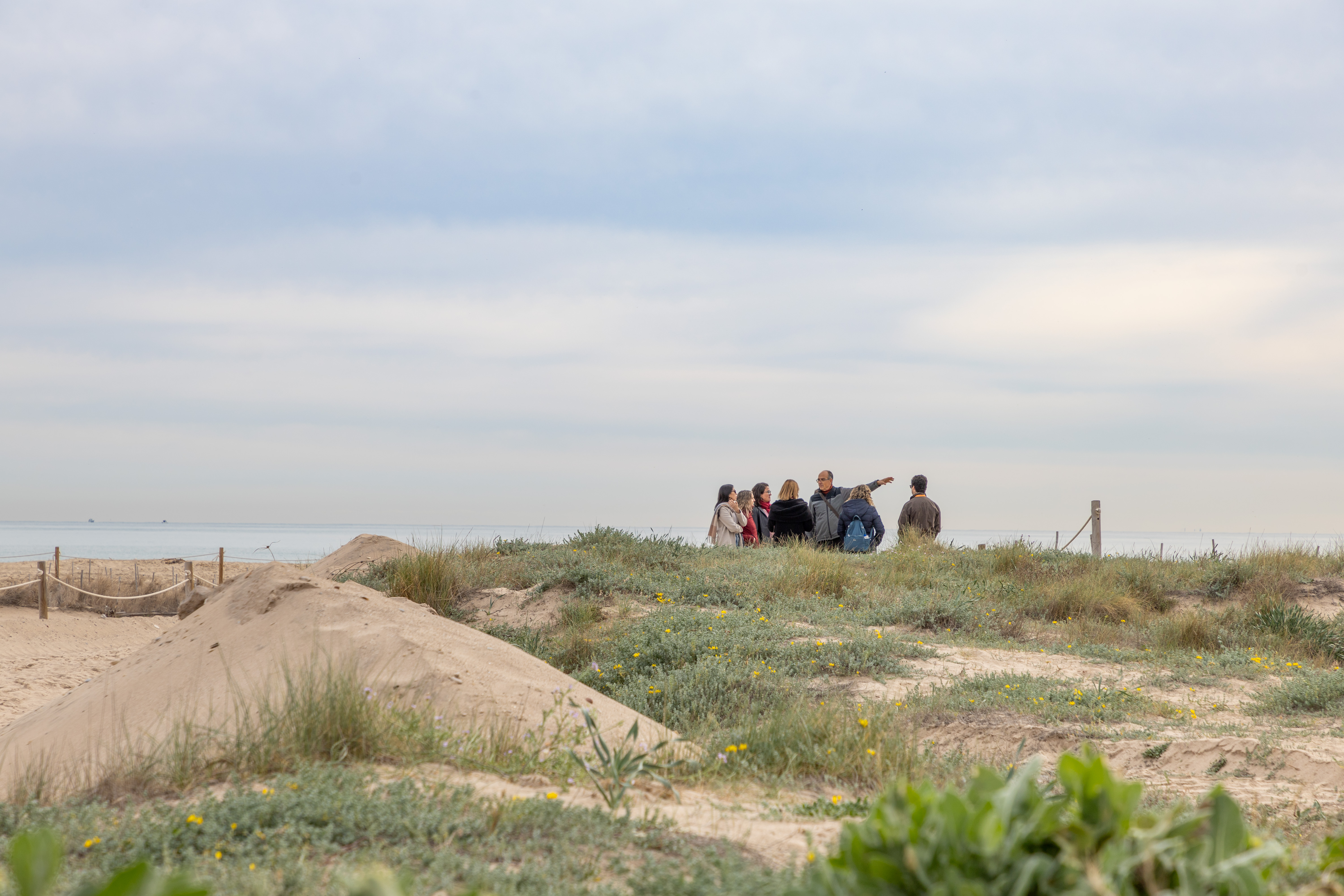
Research Trips and Activities

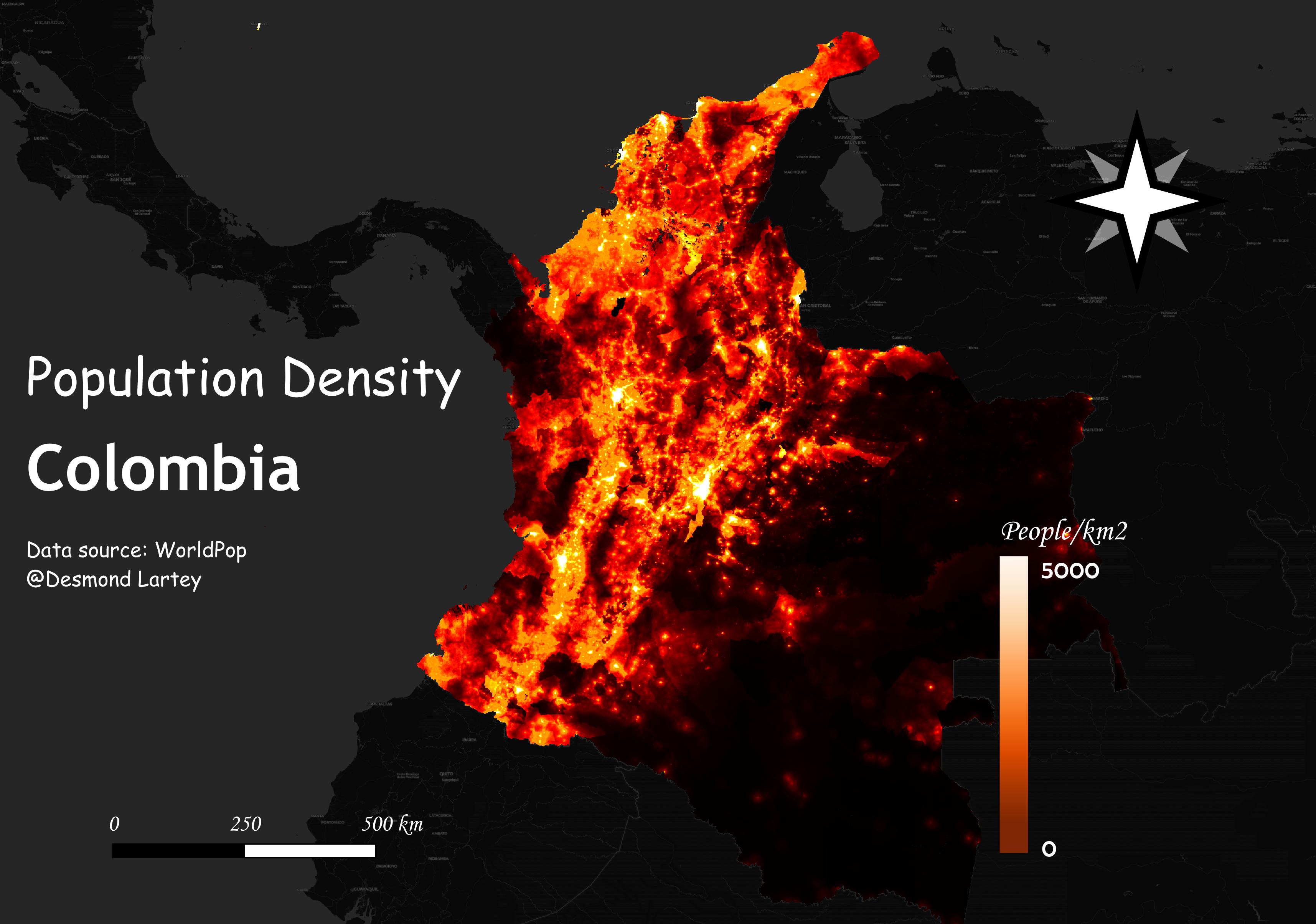
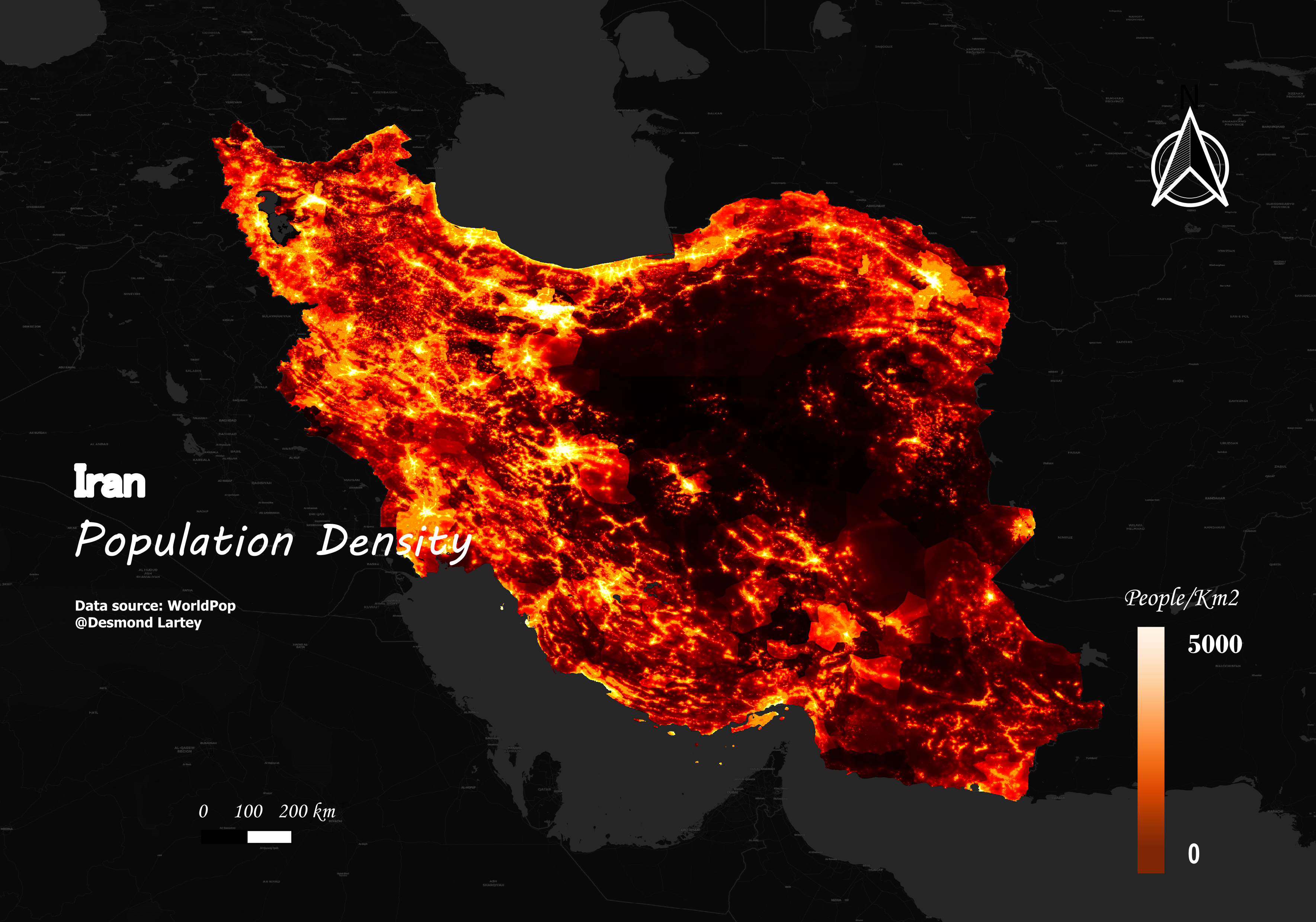
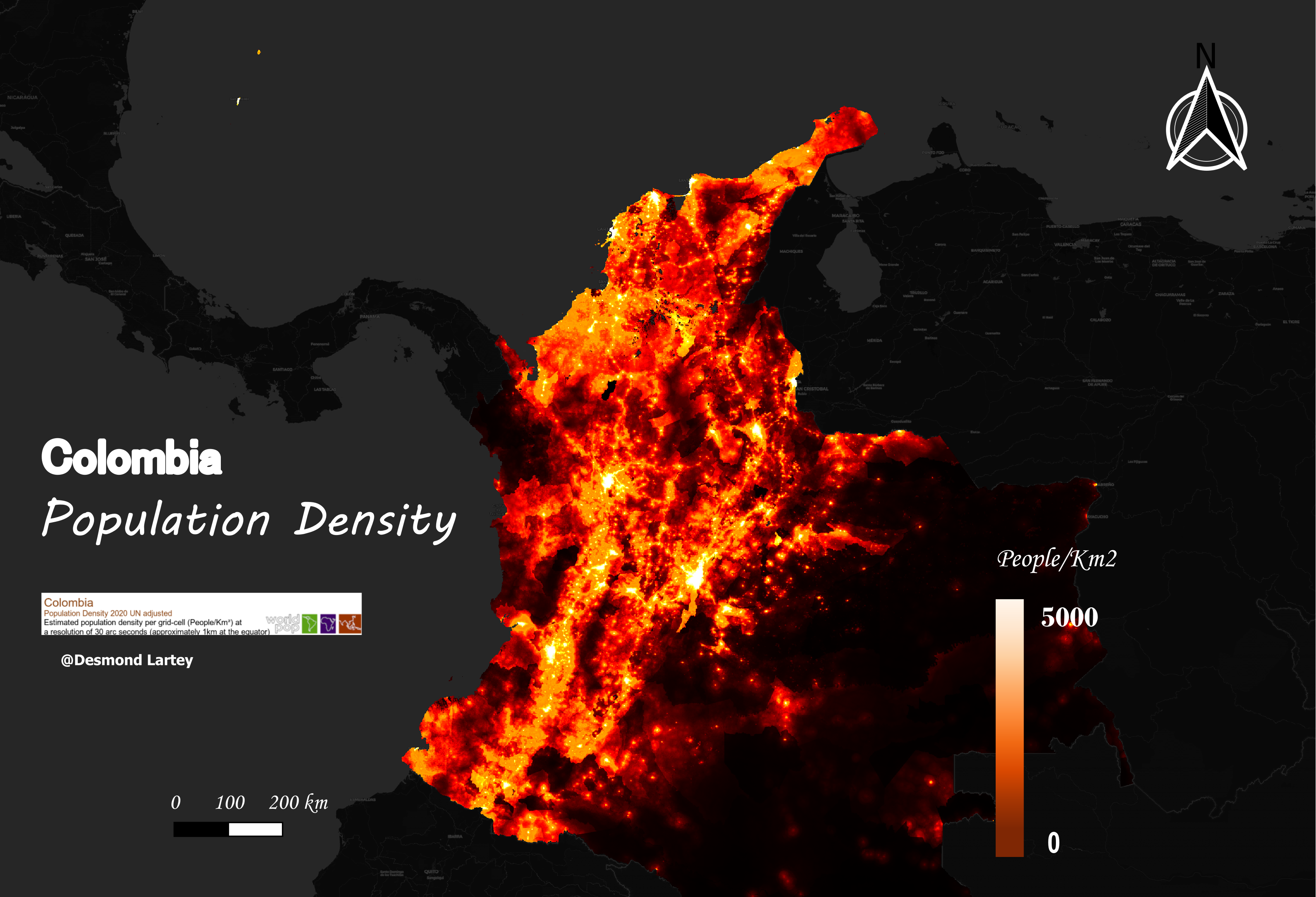
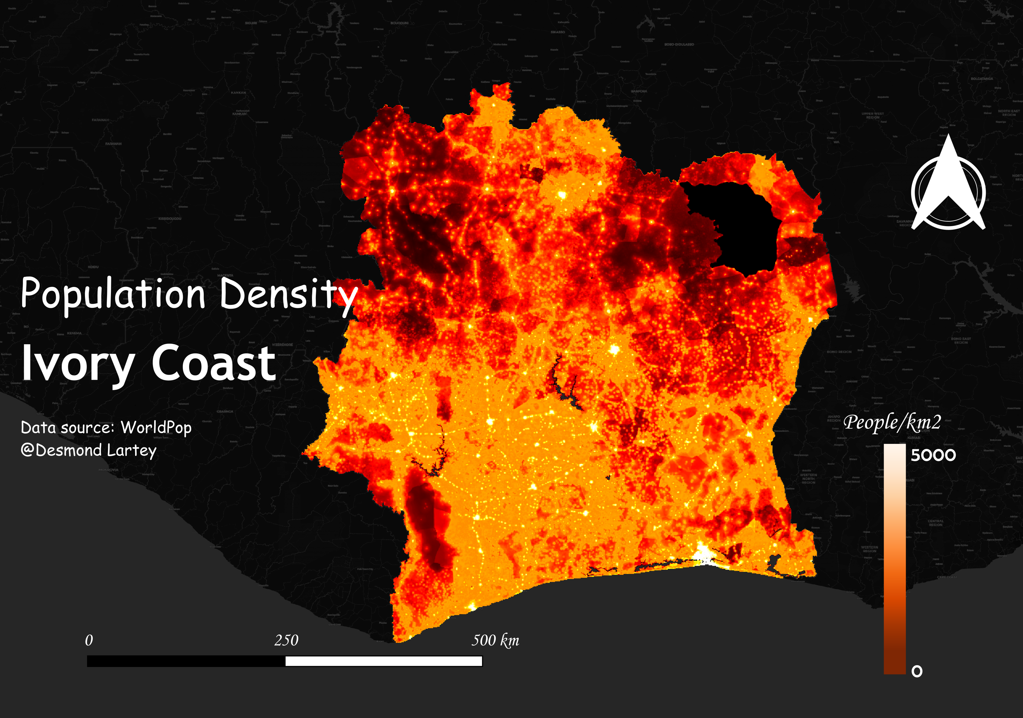
visualization
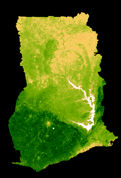 The map represents the Normalized Difference Vegetation Index (NDVI) for Ghana, using MODIS satellite data. The NDVI is a measure of the health and density of vegetation, where higher values (darker green) indicate healthier and more dense vegetation, while lower values (lighter colors) indicate less healthy vegetation. The color palette ranges from white (no vegetation) to dark green (high vegetation density). This data was collected over a two-year period from 2019 to 2020. A median composite to the images is applied, which helps to reduce noise and reveal the underlying vegetative trend. The data is clipped to the country's borders and visualized with a color scale that highlights variations in plant health across different regions and times. This visualization can be useful for monitoring environmental changes, agricultural production, and managing natural resources.
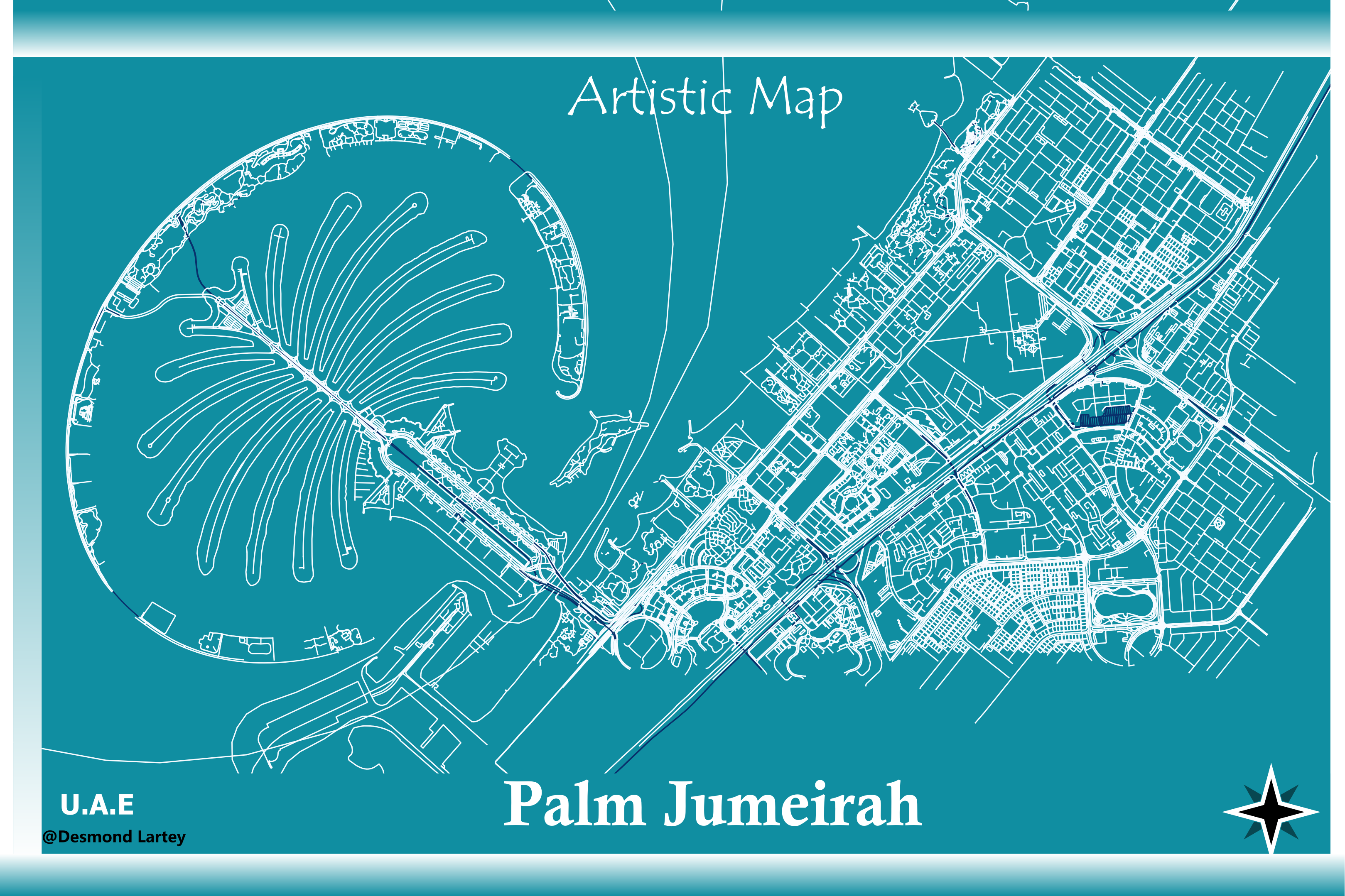
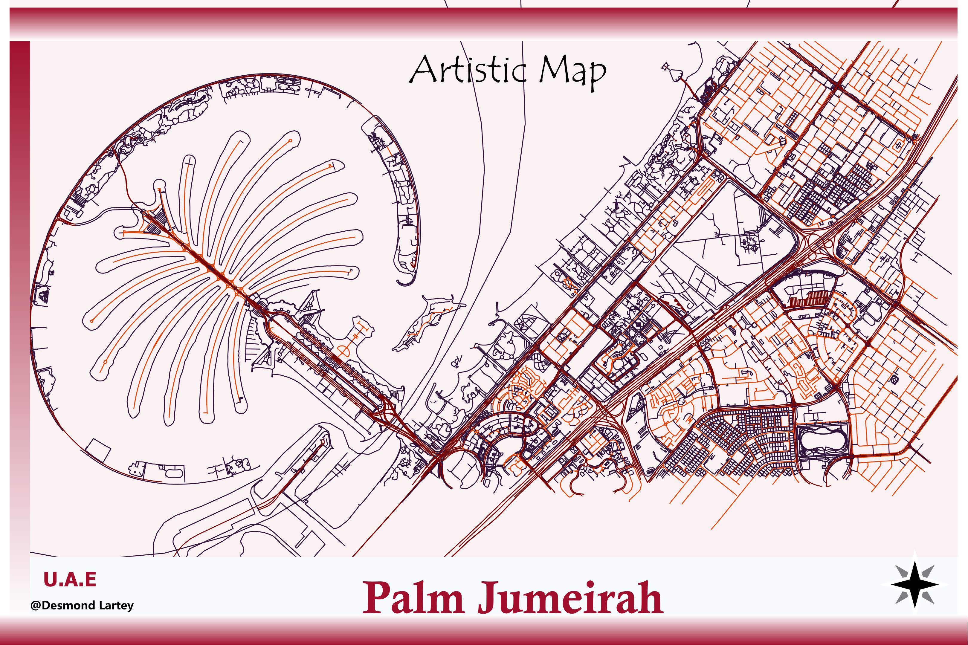
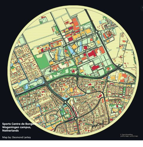 This illustrated map showcases the Sports Centre de Bongerd on the Wageningen campus in the Netherlands. Designed with an artistic and detailed approach, it highlights various buildings in vivid colors, indicating their functions or characteristics. The map's stylistic choices and color scheme not only make it visually appealing but also enhance
The map is a detailed and stylized representation of the Sports Centre de Bongerd on the Wageningen campus in the Netherlands. The use of vibrant colors to distinguish different buildings and areas makes the map both informative and aesthetically pleasing.
This illustrated map showcases the Sports Centre de Bongerd on the Wageningen campus in the Netherlands. Designed with an artistic and detailed approach, it highlights various buildings in vivid colors, indicating their functions or characteristics. The map's stylistic choices and color scheme not only make it visually appealing but also enhance
The map is a detailed and stylized representation of the Sports Centre de Bongerd on the Wageningen campus in the Netherlands. The use of vibrant colors to distinguish different buildings and areas makes the map both informative and aesthetically pleasing.
Scientific Outputs
- "Urban Greening" - Read here (Lead Author)
- "Artificial Intelligence" - Read here (Lead Author)
- "Active Travel policy - Carribean" - Read here (Co-Author)
- "Active Travel policy- Africa" - Read here (Lead Author)
- "Intelligent decision-making" - Read here (Lead Author)
- "Classification of fires" - Read here (Co-author)
- "Fire and Land use" - Manuscript in review (Lead-Author)
Awards, Scholarships, and Funded Projects
- I have worked on DESIRMED, 2024-2025
- I have worked on NBRACER, 2024-2025
- I have worked on REST-COAST, 2024-2025
- I have worked on Interdisciplinary Research and Education Fund - Wageningen University, 2022
- Awarded Africa Scholarship Programme (ASP) - Wageningen University, 2019
- Awarded TRATECH (Technology, Innovation, Trade and Business) - KNUST, 2018
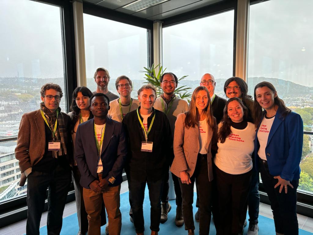
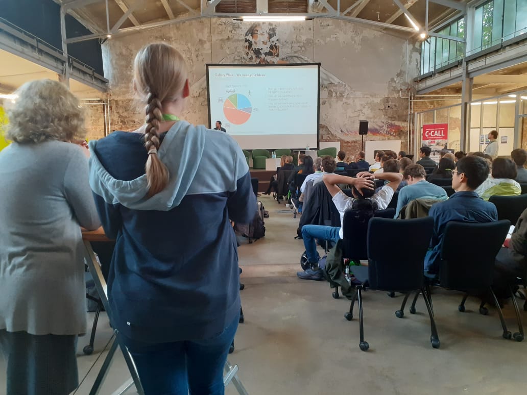
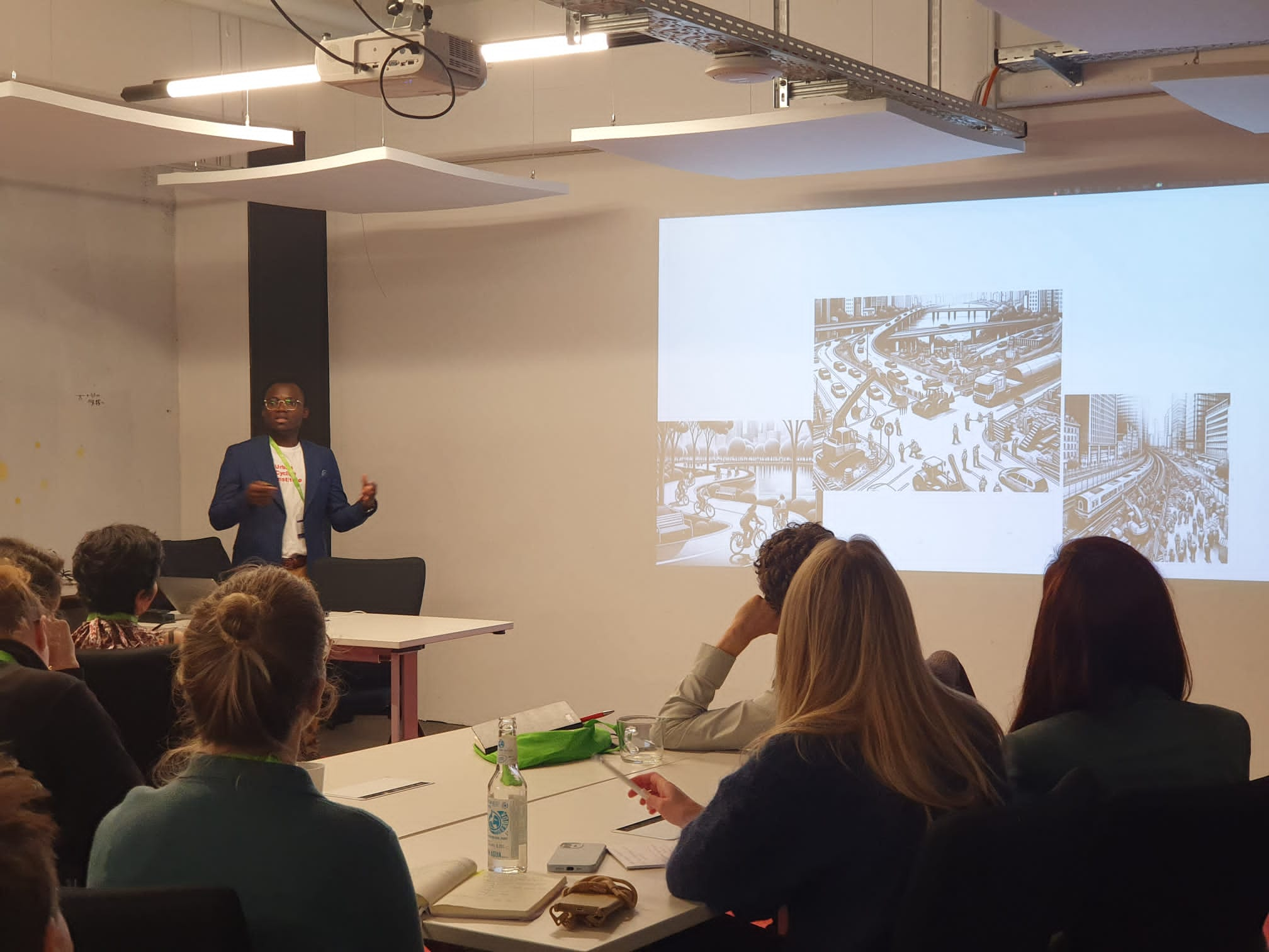
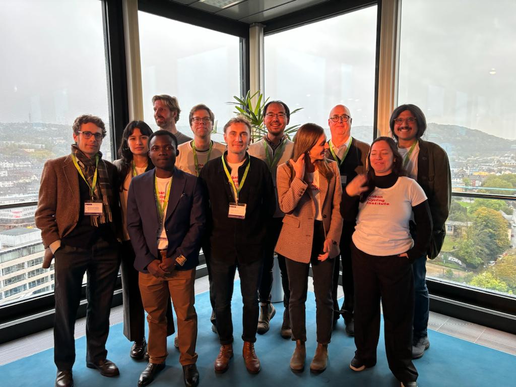
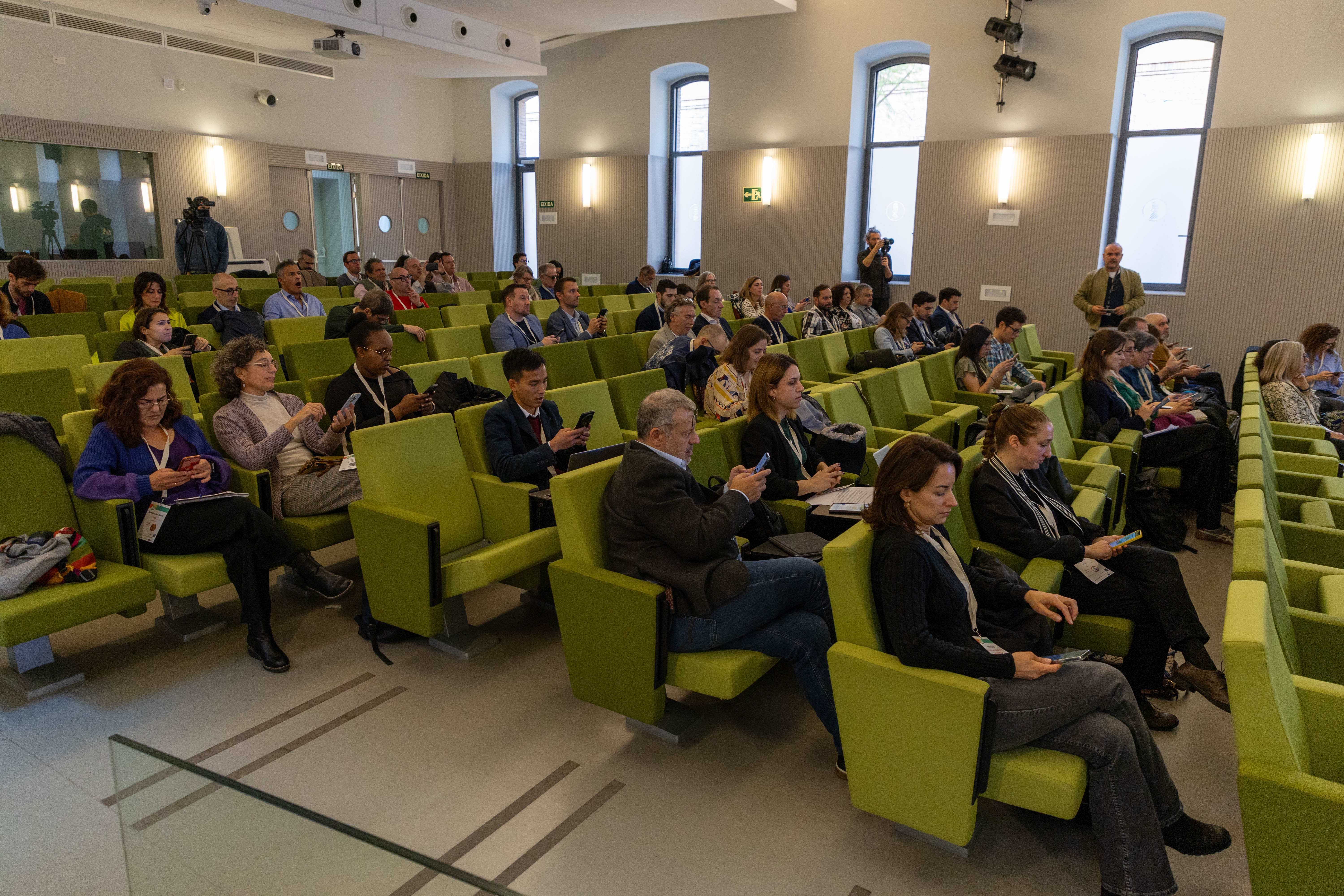
Conferences and Presentations
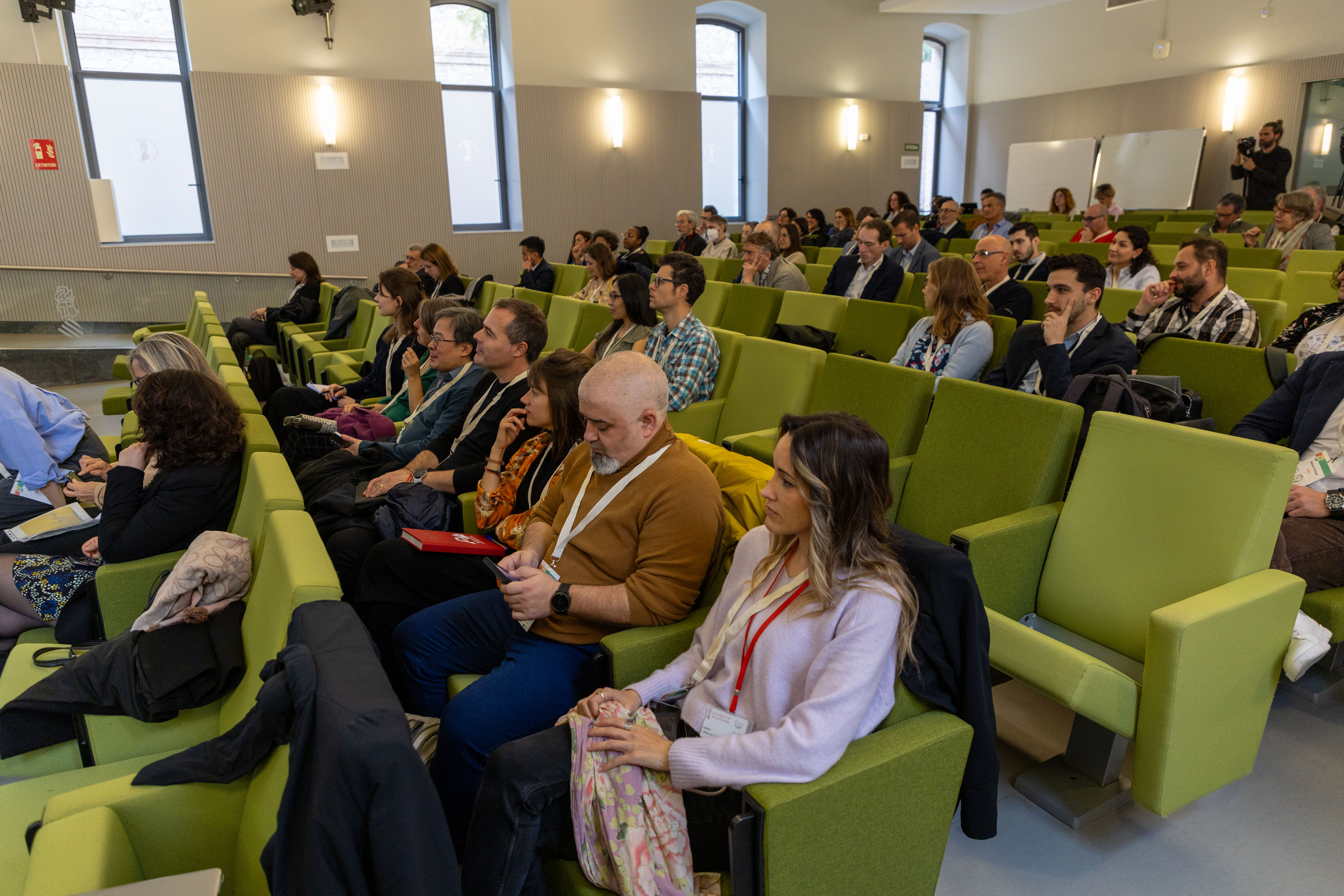
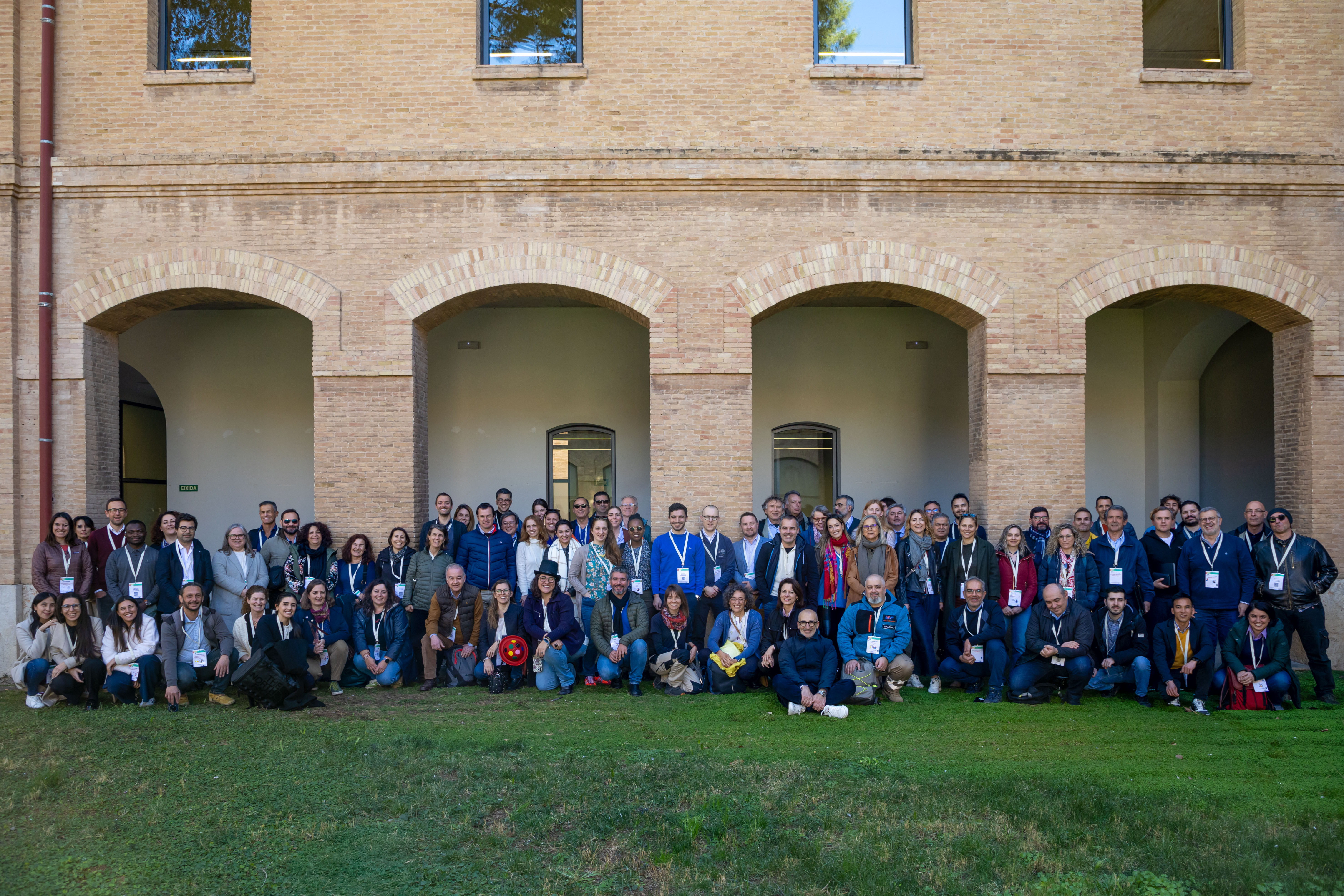
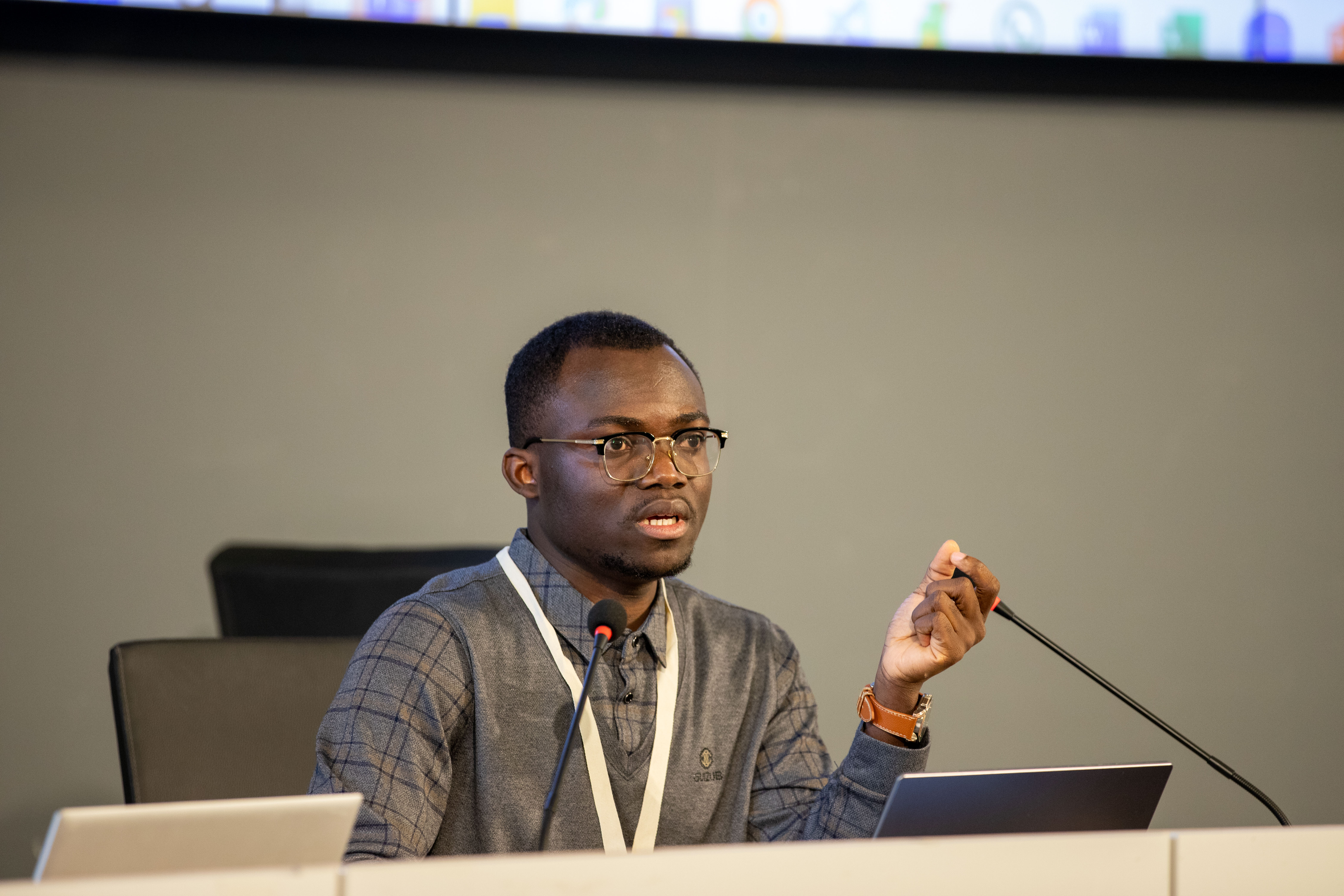
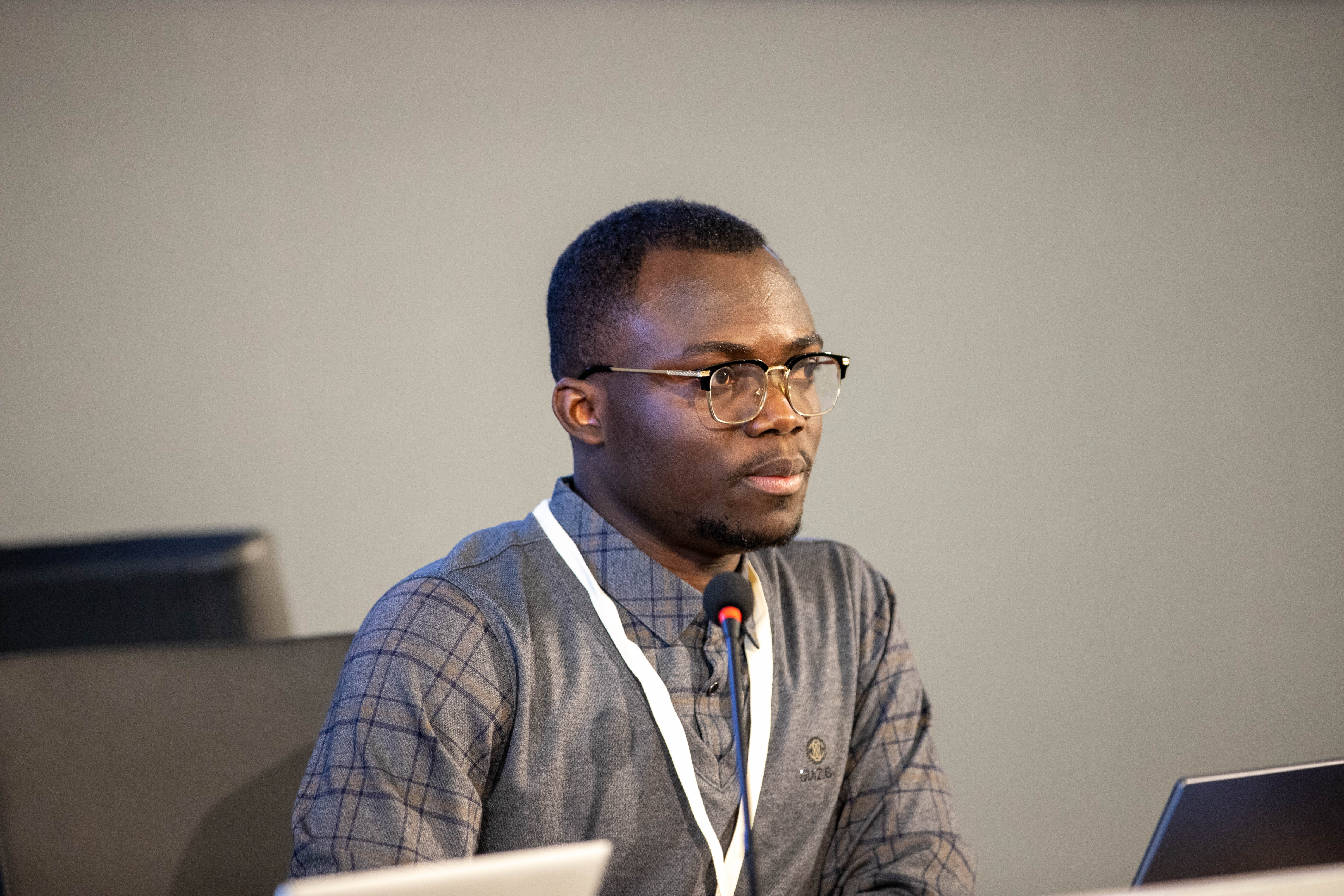
- Technical Workshop General Assembly, Valencia - 2025
- ARTIFICIAL INTELLIGENCE FOR HUMAN-TECHNOLOGIES-ECONOMY SUSTAINABLE DEVELOPMENT MakeLearn, TIIM & PIConf International Conference Lublin, Poland - 2024
- TNW Conference, Amsterdam - 2023
- 14th AESOP Lecture Series, Netherlands - 2019
- Science policy interaction at European University, Cyprus - 2021
- Integrated Fire Management at Wageningen University, NL - 2022
- Geo for Good Summit - 2022
Professional Referees
- Wim Vander Knaap – Associate Professor Land use Planning, WUR - wim.vanderknaap@wur.nl - (+31) 317483849
- Patrick Cobbinnah – Assistant Professor, University of Melbourne - patrick.cobbinah@unimelb.edu.au
- © Untitled
- Design: HTML5 UP